PDF Maps
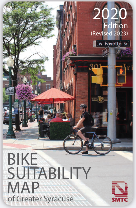 | 2020 Bike Suitability Map (2023 Update) The latest bicycle suitability maps are available by contacting the SMTC office at 315-422-5716 or contactus@smtcmpo.org. These maps are available at several locations throughout the county: libraries, bike shops, Erie Canal Museum, Sims Store Museum at the Camillus Erie Canalway Trail, Onondaga Lake Park, and at the SMTC offices (call the office at 315-422-5716 to find out the most convenient location for you to access a map and/or to request a map). |
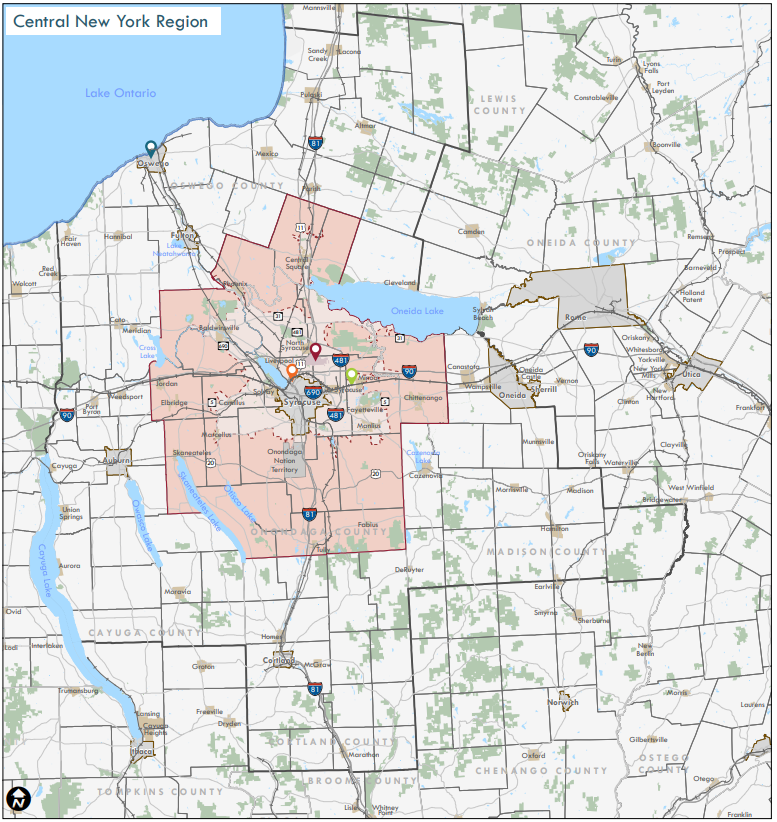 | SMTC Metropolitan Planning Area, State and Regional Maps This map displays the location of the MPO planning area on a New York State map. It also gives a closer view of Onondaga County and the portions of Oswego and Madison Counties that comprise the planning area for the SMTC. |
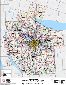
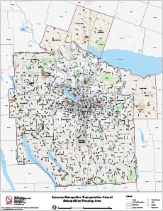 | SMTC Metropolitan Planning Area This map displays the SMTC planning area and the 2020 Urban Area. |
 | Road Ownership, SMTC MPA This map displays roads categorized by road owner in the SMTC MPA. |
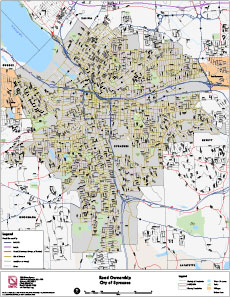 | Road Ownership, City of Syracuse This map displays roads categorized by road owner in the City of Syracuse area. |
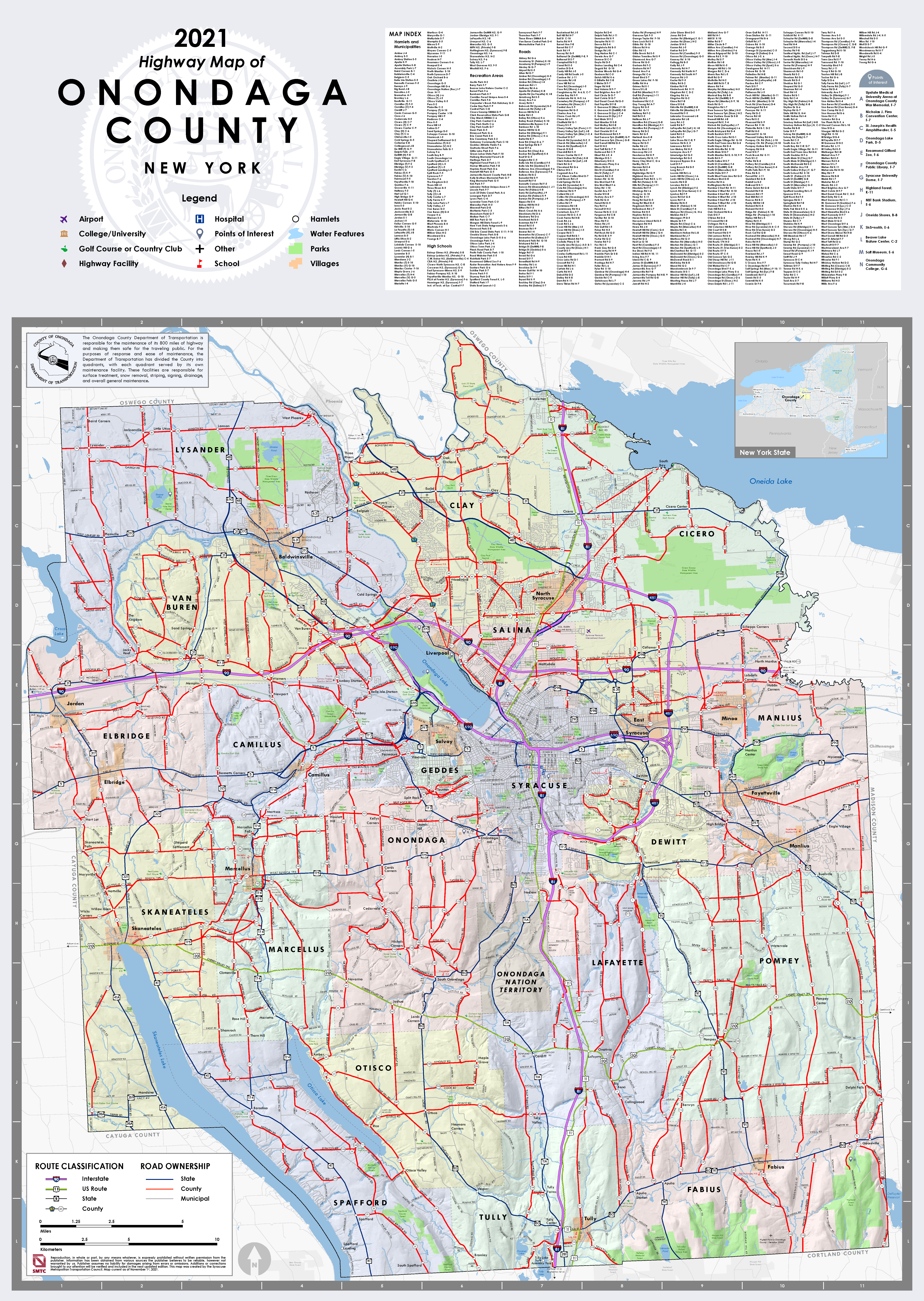 | 2021 Highway Map of Onondaga County This map displays highways classified by ownership. The back side of the map includes information on Onondaga County culture, recreation and entertainment opportunities. |
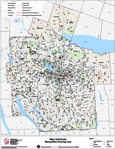 | Major Trail Routes, SMTC MPA The Major Trail Routes Map depicts bicycle and pedestrian facilities in Onondaga County that have been built, partially implemented, or have been proposed. |
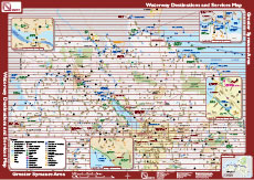 | Waterway Destinations and Services Map This map is an inventory of public use and access facilities along the waterways in Onondaga County, and is intended to encourage greater use of water transportation in Onondaga County, thereby strengthening the local economic development potential of the region. It is available at several locations throughout the county: libraries, locks and marinas, Erie Canal Museum, Sims Store Museum at the Camillus Erie Canalway Trail, Onondaga Lake Park, and at the SMTC offices (call the office at 422-5716 to find out the most convenient location for you to access a map and/or to request a map). |
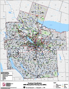 | Functional Classification, SMTC MPA This map displays the SMTC Metropolitan Planning Area's functional classification of roadways. Functional classification is the process by which streets and highways are grouped into classes or systems according to the character of service they are intended to provide. Basic to this process is the recognition that individual roads and streets do not serve travel independently, but as part of a greater network. The way in which this network "channels" traffic in a logical, safe, and efficient manner helps define the functional classification hierarchy. |
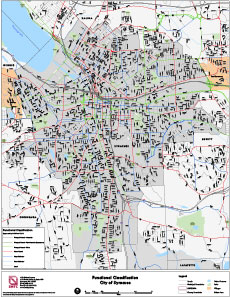 | Functional Classification, City of Syracuse This map displays the City of Syracuse's functional classification of roadways. Functional classification is the process by which streets and highways are grouped into classes or systems according to the character of service they are intended to provide. Basic to this process is the recognition that individual roads and streets do not serve travel independently, but as part of a greater network. The way in which this network "channels" traffic in a logical, safe, and efficient manner helps define the functional classification hierarchy. |
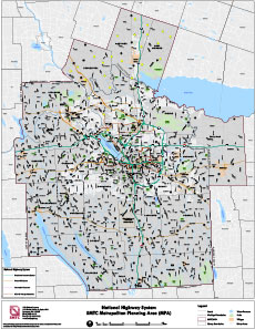 | National Highway System Map, SMTC MPA The National Highway System (NHS) is a highway network that includes the Interstate Highway System and other subsystems of roadways. It serves major airports, ports, rail, and other strategic transport facilities. Read more about the National Highway System. |
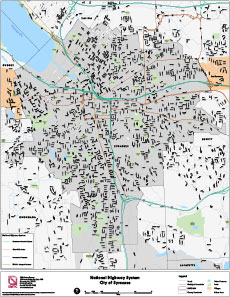 | National Highway System Map, City of Syracuse The National Highway System (NHS) is a highway network that includes the Interstate Highway System and other subsystems of roadways. It serves major airports, ports, rail, and other strategic transport facilities. Read more about the National Highway System. |
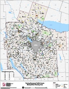 | Turning Movement Counts, SMTC MPA This map displays turning movement count locations gathered by SMTC staff and various consultants since Fiscal Year 2000. The map does not depict actual count numbers, only locations where a count was taken. |
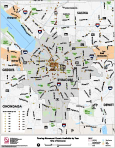 | Turning Movement Counts, City of Syracuse This map displays turning movement count locations gathered by SMTC staff and various consultants since Fiscal Year 2000. The map does not depict actual count numbers, only locations where a count was taken. |
| Transit Routes, SMTC MPA This map displays Centro Fixed Route service in the SMTC MPA. |
|
| Transit Routes, City of Syracuse This map displays Centro Fixed Route service in the City of Syracuse. |
|
 | Centro System Map This map displays the Centro bus system in the Syracuse/Onondaga County area. |