Interactive Maps
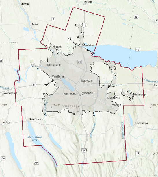 | SMTC Planning Area A map of the SMTC's metropolitan planning area and the Syracuse Urban Area. Functional Classifications and NHS Designations are available by zooming in. |
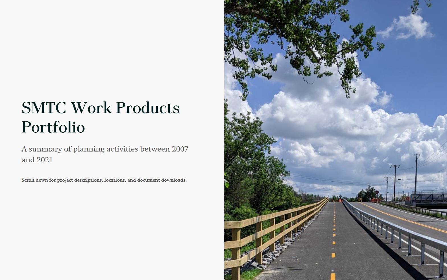 | SMTC Work Products Portfolio Story Map An interactive summary of planning activities conducted by the SMTC between 2007 and 2021. |
 | SMTC Title VI Mapper The SMTC is committed to ensuring that no person is excluded from participation in, or denied the benefits of, its metropolitan transportation planning process on the basis of race, color, national origin, or disability as provided by Title VI of the Civil Rights Act of 1964 and related statutes and regulations. In order to further inform the public about the demographic makeup of our metropolitan planning area, the SMTC developed this Title VI mapper to indicate the presence of focus populations. |
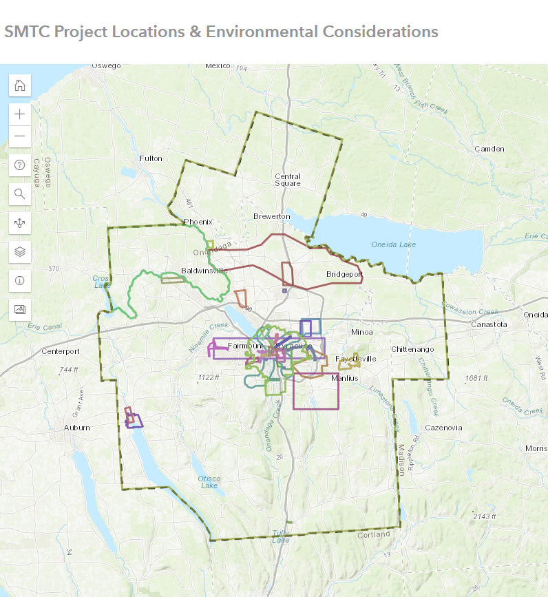 | SMTC Project Locations and Environmental Considerations This interactive map is intended to provide the user with a general understanding of environmental considerations in or near SMTC project areas. |
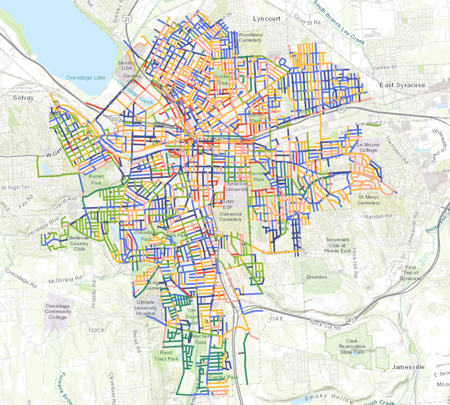 | Pavement Monitoring System Web Mapping Application The Syracuse Metropolitan Transportation Council (SMTC) collected pavement ratings in the Summers of 2019, 2020, 2021, and 2022. The SMTC rates pavement using a scale developed by the New York State Department of Transportation (NYSDOT). Additional information can be found in the SMTC's Bridge and Pavement Condition Management System report and the City of Syracuse Supplemental Pavement Rating documentation, which can be found here. |
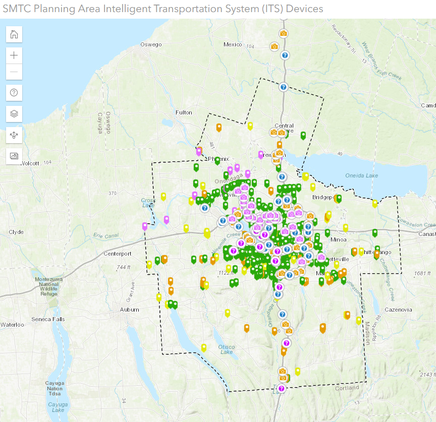 | SMTC Planning Area Intelligent Transportation System (ITS) Devices An interactive map showing the location of Intelligent Transportation System (ITS) devices in the SMTC's planning area. |
 | SMTC Online TIP Map The Transportation Improvement Program (TIP) is the agreed-upon multiyear list of specific projects for which federal transportation funds are anticipated. Required by federal law, the TIP represents the transportation improvement priorities of the Syracuse Metropolitan Area. The list of projects is multi-modal and includes highway (bridge or paving) and public transit projects, as well as bicycle, pedestrian, and safety-related projects. The TIP also represents the translation of recommendations from the SMTC’s Long-Range Transportation Plan (LRTP) and Unified Planning Work Program into a short-term program of tangible transportation improvements. For more information, visit the SMTC's TIP page. |
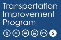
 | Bike Suitability Map of Greater Syracuse (2020) The purpose of the Greater Syracuse Metropolitan Area Bike Map is to assist the general public (primarily bicycle commuters) in determining which roads are the most suitable for bicycle travel based on a series of color-coded ratings. |
 | Greater Syracuse Pedestrian Planning Application This map provides a sidewalk inventory, pedestrian priority zones and roadway functional class info for the Syracuse Metropolitan Transportation Council's (SMTC) study area. For more information on this project, see the Summary Report. For detailed information on how the Priority Zones shown in this map were developed, see the Sidewalk Reference Manual. The Pedestrian Demand Model results are based on a combination of factors, such as proximity to schools, parks and grocery stores, as well as population density, employment density and demographic characteristics. A high score (shown in bright yellow and red colors on the map) indicates greater “walkability”, in the sense of having places to walk near one another. A low score (shown in light yellow and blue colors on the map) means that destinations (such as schools, libraries and stores) are spread out or are not situated near homes. |