Vehicles
Mobility and Reliability
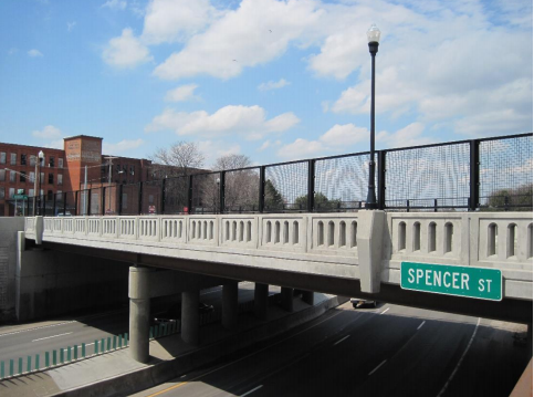
Our region’s transportation system works extremely well for the majority of users. Eighty-four percent of commuters in our planning area drive alone to work1, and the average commute time regionally is an enviable 20.5 minutes2, which is well below state and national averages. Two major interstate highways, I-81 and I-90, pass through Onondaga County and intersect just north of the City of Syracuse. These facilities, along with additional interstates (I-690 and I-481) and a dense network of State, County, and local roads, make it possible for commuters in private vehicles to get from one part of the region to the other efficiently. Freight transportation also benefits from our relatively uncongested Interstate facilities and other major roadways.
1 American Community Survey, 2014-2018 Estimate. Table B08006.
2 American Community Survey, 2014-2018 Estimate. Table B08013.
The SMTC’s latest Congestion Management Process (CMP) Status Update includes commonly-used measures of congestion and presents a more detailed examination of congestion in the region than the LRTP/MTP. The CMP concluded that, overall, there is very little congestion on the primary commuter corridors inside the Syracuse urban area. There are a few isolated locations that experience congestion, but most of our road network consistently operates very well for drivers. This is evidenced by 90 percent or more of the CMP Network mileage considered uncongested and/or reliable based on the various congestion-related performance measures.
From the point of view of the individual using the transportation system, predictability and reliability are critical. Regardless of how long a trip takes, whether it’s a five-minute walk to a nearby convenience store or a 40-minute commute by bus, it is important that people be able to rely on the trip taking this amount of time. System reliability is also addressed in the SMTC’s CMP, using the Level of Travel Time Reliability (LOTTR) performance measure. This analysis indicated that 44 miles of road segments (or about 6 percent of the CMP Network mileage) would be considered unreliable based on LOTTR, leaving about 94 percent of the CMP Network segment mileage considered reliable.
Although our congestion is relatively minor, the CMP does suggest some strategies to reduce congestion even further, such as: implementing traffic signal coordination or signal optimization; promoting ride sharing options with the “safety net” of a guaranteed ride home; providing buses with traffic signal priority; and encouraging employers to allow flexible work schedules.
Highway capacity projects identified in the 2050 MTP are related to recent and anticipated economic development projects with significant job growth within our region that have the potential to impacts traffic volumes and travel patterns. The 2050 MTP includes $561 million in highway capacity and transportation systems management & operations expansion projects out of a total of over $5.89 billion. Most of the anticipated future project costs are for maintenance projects. See MTP Chapter 5
Many of the SMTC’s Corridor Studies include existing and future traffic operations analysis, often utilizing Synchro analysis software and outputs from the SMTC’s regional Travel Demand Model. These studies may examine one or multiple roadway corridors ranging in length from just a few miles (often in the City of Syracuse or one of our many villages) to over 10 miles spanning suburban towns. These studies generally examine future anticipated or envisioned land use changes, and assess the potential impact to the transportation system, including intersection and roadway capacity along with other mobility concerns such as bicycle and pedestrian accommodations and transit usage.
The SMTC also maintains a database of intersection turning movement counts, and annually conducts many of these counts at the request of our member agencies and for the purpose of our own studies.
System Preservation
Ensuring that our transportation system is in a state of good repair typically uses three-fourths of the region’s approximately $300 million dollar (over 5 years) federal transportation allocation. There are approximately 4,000 centerline miles of road and 550 roadway bridges in the MPA. There are also 305 miles of active railroad, 841 miles of sidewalk, and 66 miles of off-road trails in our region. Heat, sunlight, salt (in the case of roads and bridges), and repeated freeze-thaw cycles as well as wear and tear from vehicles and snowplows degrade the condition of these assets over time.
The MPA includes 109 miles of Interstate roads, and 179 miles of non-Interstate NHS pavements. Additionally, within the MPA, there are 256 bridges (with approximately four million square feet of total deck area) that carry the NHS. The LRTP addresses preservation of the transportation system and identifies infrastructure needs within the Syracuse metropolitan region, and projects funding for pavement and bridge condition improvements over the next 30 years. The five-year Transportation Improvement Program (TIP) for the MPA directly allocates funds to major pavement and bridge repair/rehabilitation/replacement efforts.
The NYSDOT collects pavement condition metrics in accordance with the FHWA’s Pavement and Bridge Condition Performance Measures Final Rule of January 2017 (the “PM2 rule”) on the entirety of the State system every year, and on the entirety of the federal-aid system (regardless of ownership) over the course of two years. As a separate effort for local planning, the SMTC also rates all roads owned by the City of Syracuse and all federal-aid eligible roads owned by Onondaga County using the pre-PM2 1-10 scale, and will likely continue to do so for the foreseeable future.
For more information see MTP Chapter 2 and the SMTC’s Bridge and Pavement Condition Management System Report.