Bicycle & Pedestrian
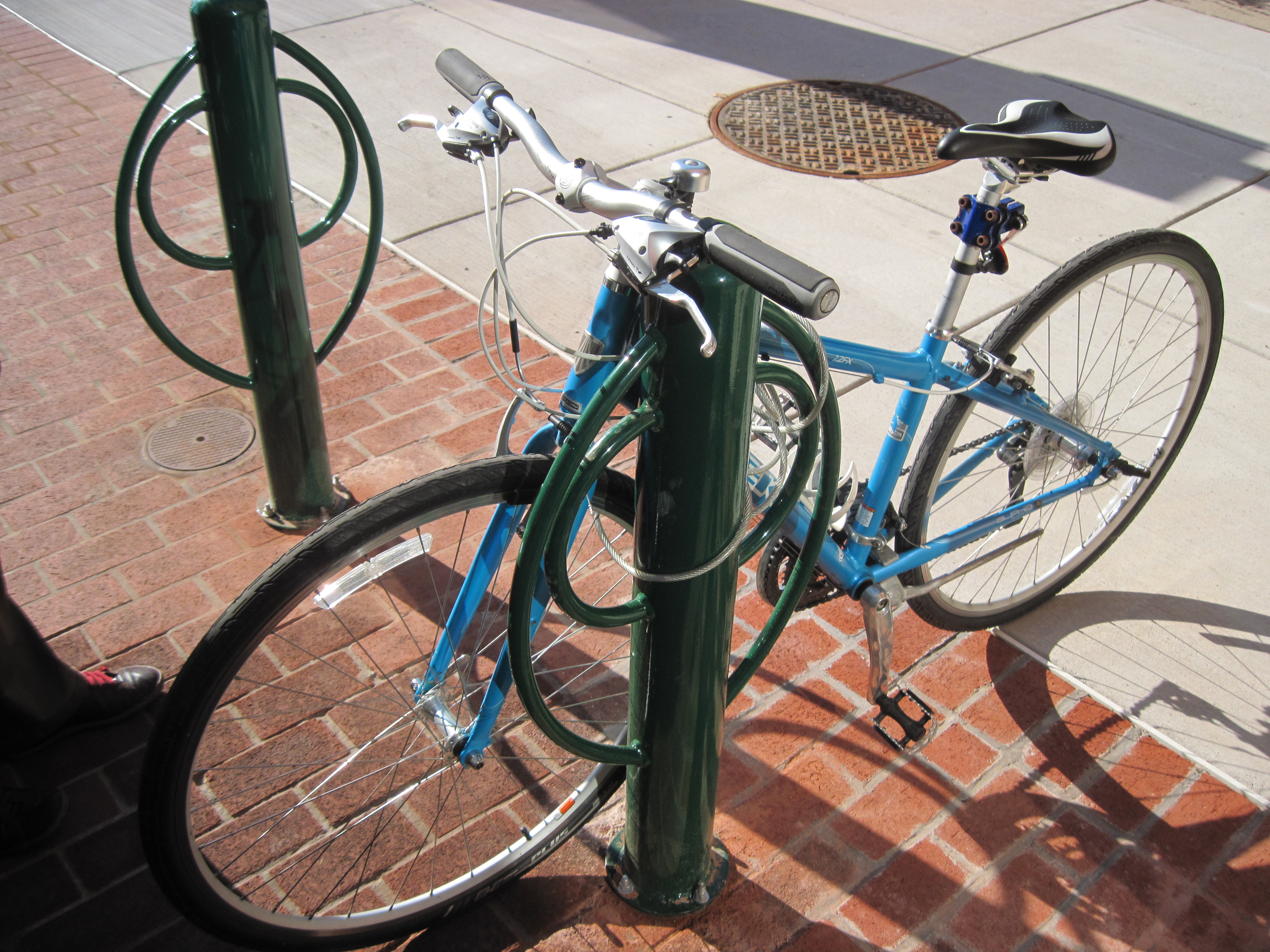
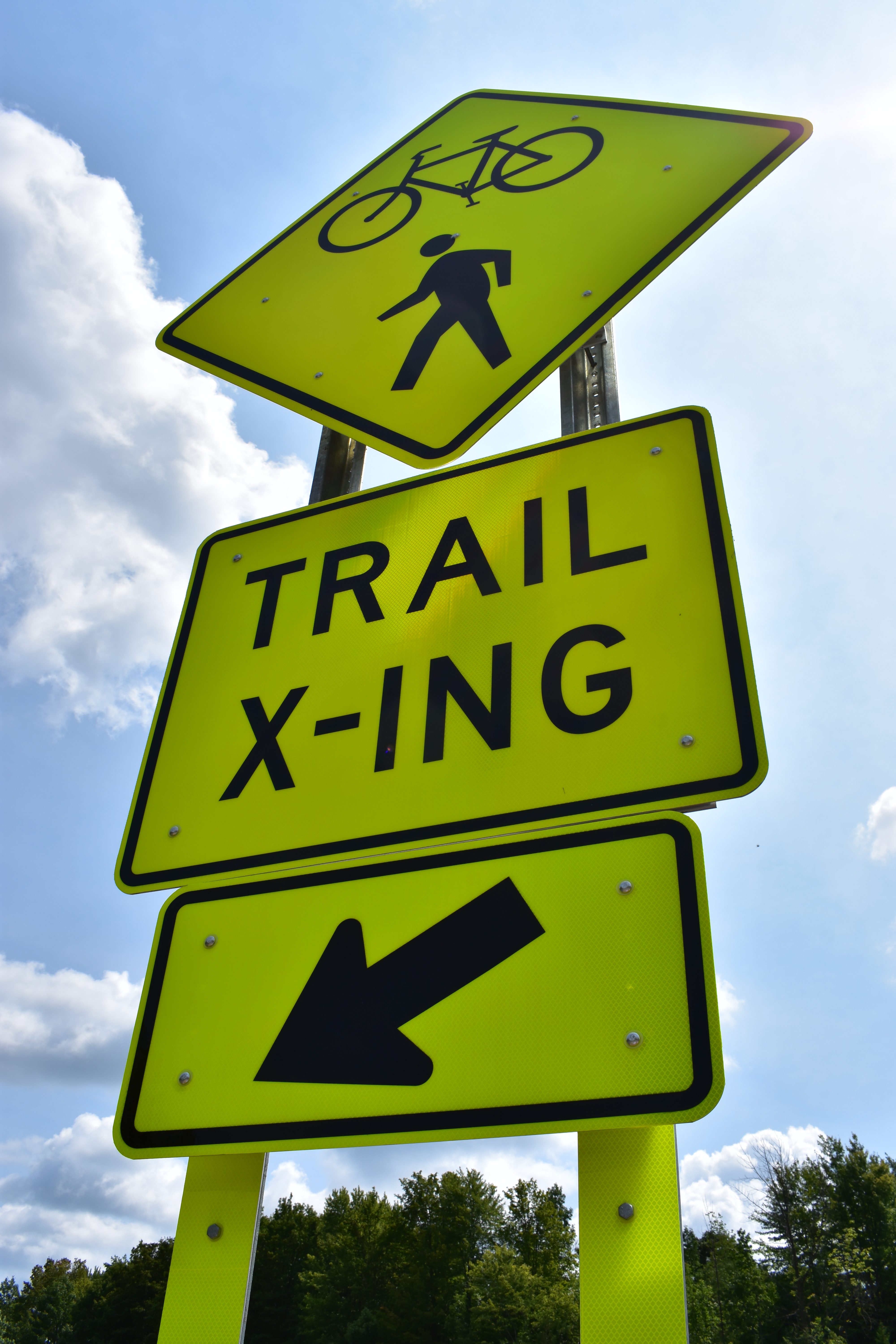
 The SMTC has completed numerous bicycle and pedestrian planning activities and studies that cover site specific improvements, corridors, neighborhoods, municipalities and, the overall planning area. Check out our Bike/Ped Planning publications here. We’ve also put together materials on bicycle and pedestrian infrastructure in the Greater Syracuse region. Additionally, learn about bicycle and pedestrian safety, rules of the road and related resources to enjoy the region year round. Started in 2021, a Forum on Active Transportation was created as a way for the public to get involved in the transportation planning process.
 Beyond SMTC specific work, our members are actively engaged in regionally significant bicycle and pedestrian infrastructure: City of Syracuse’s Creekwalk, Onondaga County’s Loop the Lake Trail, and New York State’s Empire State Trail. Once these 3 multi-use trails are complete, a continuous trail network will be available linking together many municipalities through a significant portion of Onondaga County, and beyond. This integrated/connected network supports local and regional economic development strategies, promotes tourism and recreation opportunities, and non-motorized travel; all overarching goals of our area’s long range plan. For occasional updates on these trails, check out our Facebook page.
For those interested in commuting by bike, plan your trip ahead of time using the SMTC’s interactive bike suitability map. You can also plan your route using transit, as nearly all Centro buses have bike racks. And, bike share and e-scooters are available in the City of Syracuse via the Syracuse Sync program. More information is available from their micomobility partner, Veo.
Bicycle and Pedestrian maps
- 2020 Bike Suitability Map (2023 Update) (PDF)
- 2020 Bike Suitability Map (interactive)
- Greater Syracuse Pedestrian Planning Application (interactive)

